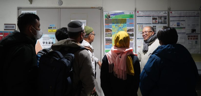
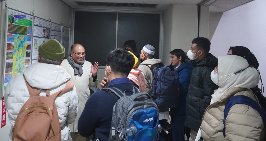
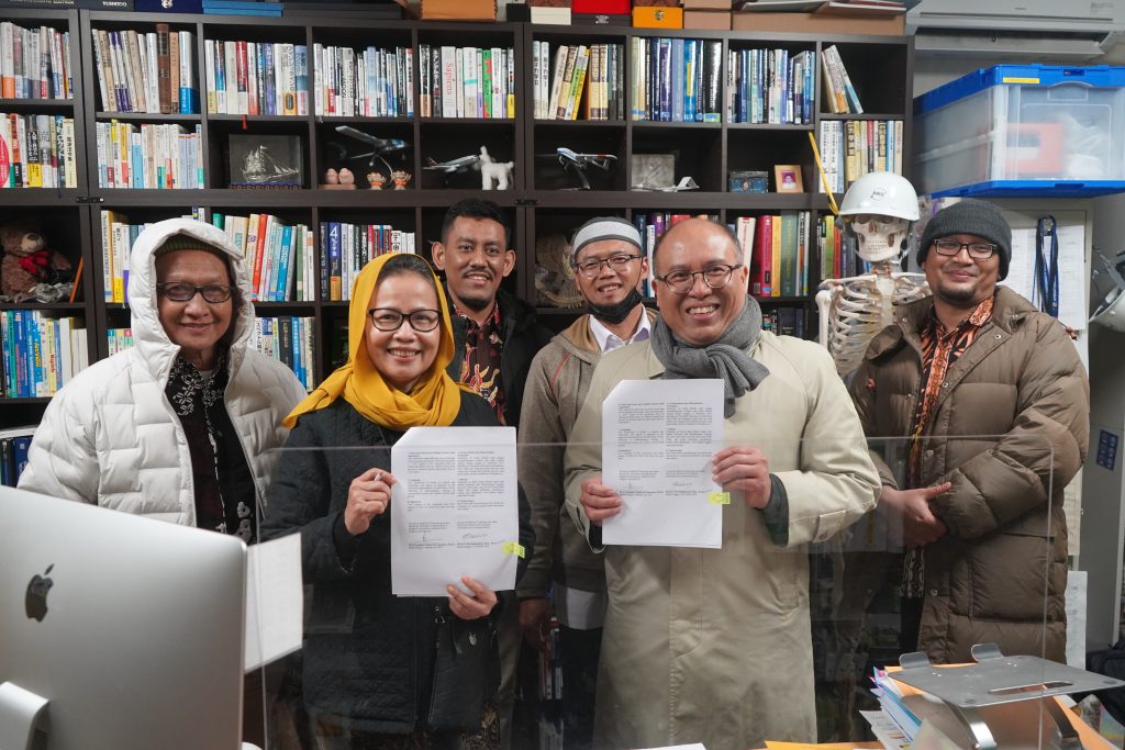
Japan (25 February) – The Master of Environmental Science Program, Graduate School of Universitas Gadjah Mada, conducted a benchmarking visit to the Josaphat Microwave Remote Sensing Laboratory (JMRSL), Center for Environmental Remote Sensing, Chiba University. Led by the Dean of the Graduate School, Prof. Ir. Siti Malkhamah, M.Sc., Ph.D., the Master of Environmental Science Program discussed the advancement of Remote Sensing and Geographic Information Systems (GIS) with Prof. Josaphat Tetuko Sri Sumantyo, Ph.D., from JMRSL, Chiba University. The visit was concluded with the signing of a Collaboration Agreement concerning the appointment of visiting lecturers to strengthen Remote Sensing and GIS courses within environmental studies.

(Activity Documentation)
This initiative is driven by the urgent need to strengthen the scientific foundations of Remote Sensing and GIS in addressing increasingly complex global environmental challenges, such as climate change, habitat degradation, and natural disaster risks. Remote Sensing and GIS play a crucial role in supporting the multidisciplinary nature of environmental science. For instance, in Geomorphology, remote sensing technologies are used to monitor changes in landforms caused by natural processes or human activities. In Landscape Ecology, satellite imagery supports vegetation mapping, habitat identification, and ecosystem monitoring. Meteorology and Climatology utilize remote sensing data to analyze weather patterns and climate variability, while in Disaster Management, GIS and remote sensing are essential for modeling potential hazards and planning effective response strategies.
The growing complexity of environmental conditions and global challenges necessitates more advanced approaches to environmental management. Spatial data acquired through remote sensing enables real-time and large-scale monitoring of environmental changes. By integrating GIS and remote sensing, the program can generate data-driven solutions to key environmental issues, aligning with several SDGs, notably SDG 13 (Climate Action), SDG 15 (Life on Land), and SDG 11 (Sustainable Cities and Communities).
The Josaphat Microwave Remote Sensing Laboratory (JMRSL) at Chiba University was selected as a collaboration partner due to its distinguished reputation in microwave-based remote sensing research and its significant contributions to advanced radar technology development for environmental monitoring. The laboratory has made substantial advancements in polarimetric radar and Synthetic Aperture Radar (SAR) technologies for environmental observation, disaster mitigation, and natural resource exploration.
The Master of Environmental Science Program also emphasizes the importance of practical approaches in advancing Remote Sensing and GIS studies. Scientific development in these areas must go beyond classroom instruction and be reinforced through real-world applications. One example is research-based projects initiated by faculty and carried out with students, such as the AI Disaster Project conducted at Chiba University. Such projects provide students with opportunities to apply theoretical knowledge to practical contexts and produce research relevant to real-world needs, particularly in disaster mapping and prediction.
Furthermore, the advancement of these courses should involve collaboration with external stakeholders, including government agencies, technology companies, and international organizations engaged in natural resource and environmental management. Such partnerships offer students hands-on experience and foster interdisciplinary knowledge exchange, enriching their academic perspectives and enhancing the quality of instruction.
(Activity Documentation)
Through this initiative, the Master of Environmental Science Program seeks to establish a strong international collaboration framework aligned with SDG 17 (Partnerships for the Goals). The program hopes that this partnership will reinforce its commitment to producing graduates capable of contributing to global efforts in achieving sustainable development.
Author: Lucky, Ulyn